


Epilogue
Epilogue
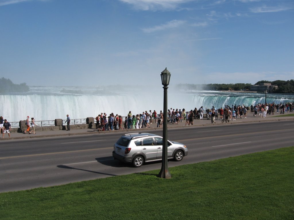
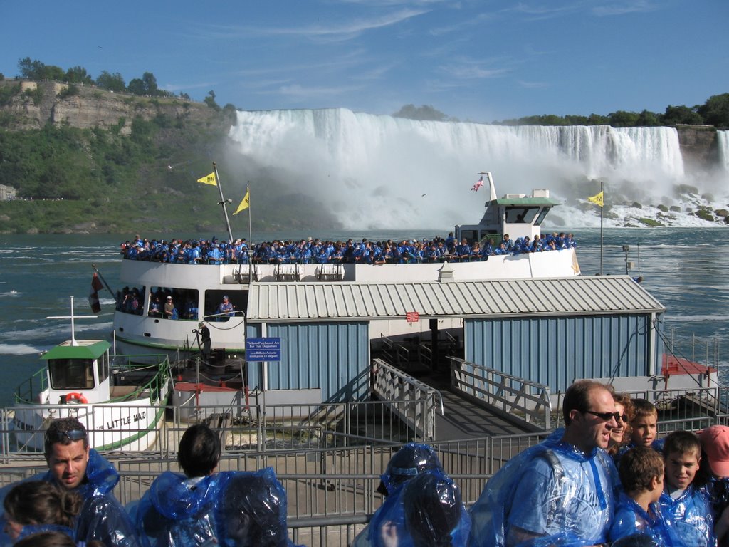
This was certainly a road trip! We drove 8,729 miles in 52 days, which is an average of 167 miles per day. Our longest drive was on Day 48, when we drove 513 miles from Mackinaw City, MI to Niagara Falls, ON. We had a number of days when we drove more than 400 miles, including several that were back-to-back. The through mileage was about 6,278, which means we drove about 2,500 local miles (including more than 300 in Yellowstone National Park alone)! We purchased gasoline 36 times (all fill-ups) totaling 483 gallons. The highest price we paid was $3.199 (twice) in Yellowstone National Park, WY and Bloomington, MN. The lowest price we paid was $2.709 in Woodland, CO. Our average MPG was just over 18. We have concluded after this trip that the only variable that affects gasoline mileage significantly is speed. Above speeds of 70 MPH, the mileage really dropped off. No other variable, including using the air conditioner, towing a trailer or climbing hills affected our mileage as much going fast did.
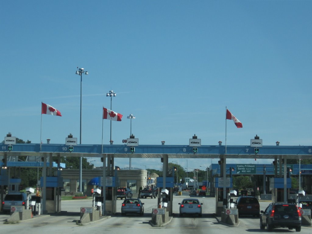
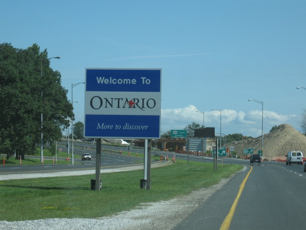
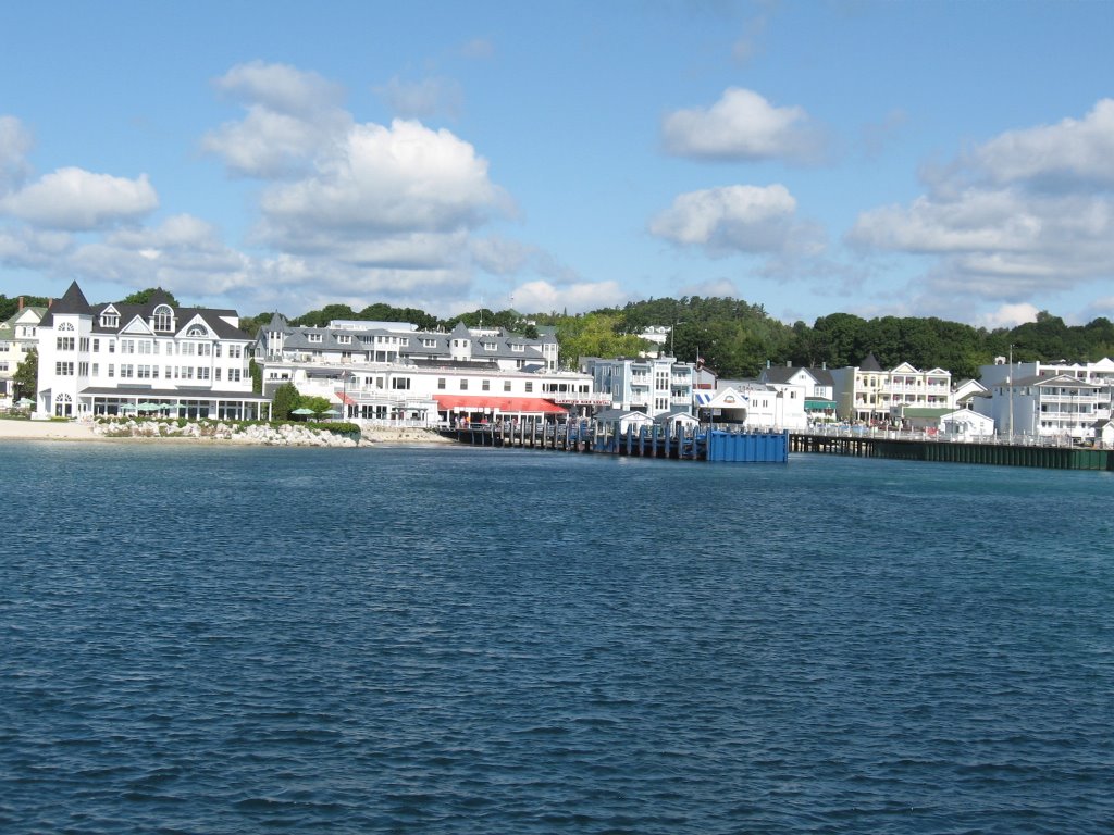
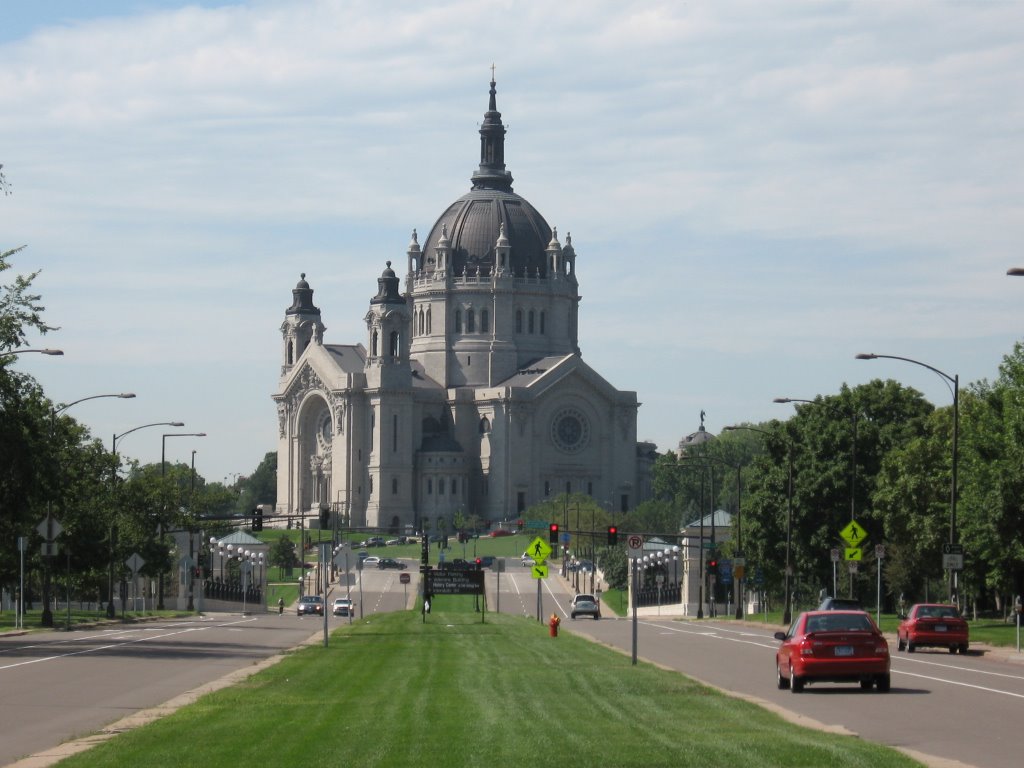
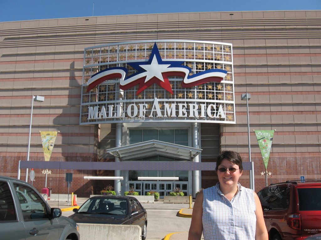
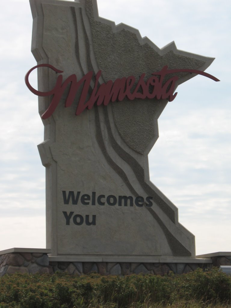
We were in a total of 21 states counting Maryland (once) plus Ontario, Canada. In chronological order they were Maryland, West Virginia, Kentucky, Indiana, Illinois, Missouri, Kansas, Colorado, New Mexico, Arizona, Utah, Wyoming, Idaho, Montana, South Dakota, Minnesota, Iowa, Wisconsin, Michigan, Ontario, New York, and Pennsylvania. We also visited and/or camped in 14 National Park Service properties, not counting National Forests that we drove through.
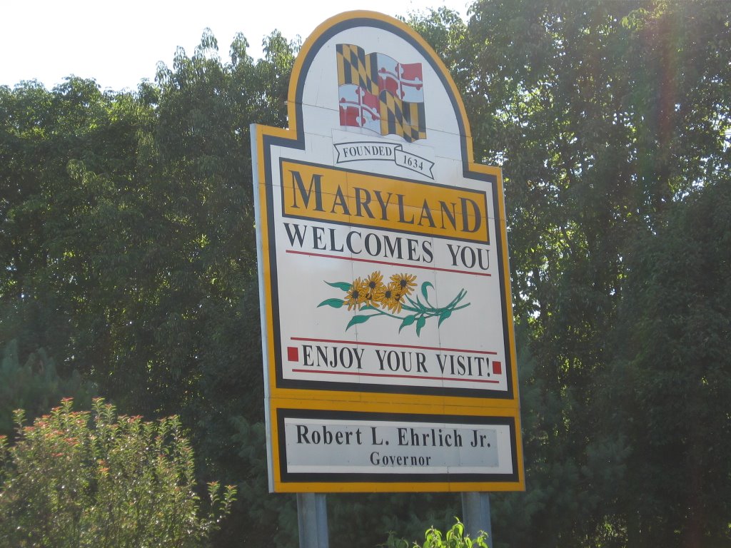
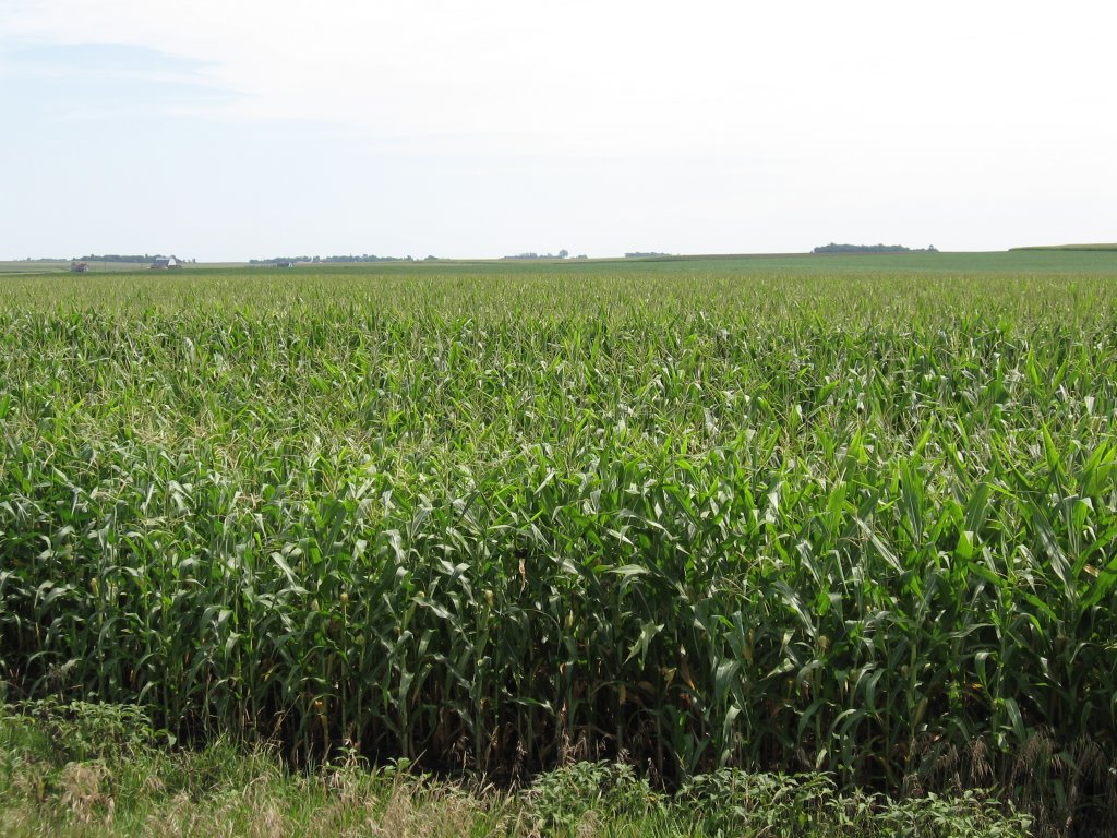
Perhaps the biggest impression the trip made on us was how huge and largely empty and beautiful America really is. Arizona, Colorado, Utah and Wyoming were particularly beautiful. Wyoming was particularly empty. As East Coast people, we didn’t realize how densely populated Maryland was until we drove across states with far fewer people per square mile. In fact, Maryland has more people per square mile (542) than any of the other states we were in, and more than 100 times more than Wyoming (5).
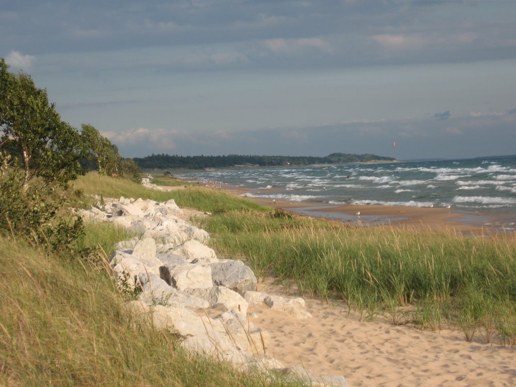
Everywhere we went people told us that the climate in their area had changed recently. We saw low lake levels at Lake Powell and Lake Michigan. We heard about the warmest winters and hottest summers in a lifetime, reduced snowfalls, and changes in what birds are found naturally in which regions. This made us concerned about our environment and damage to it that has been done.
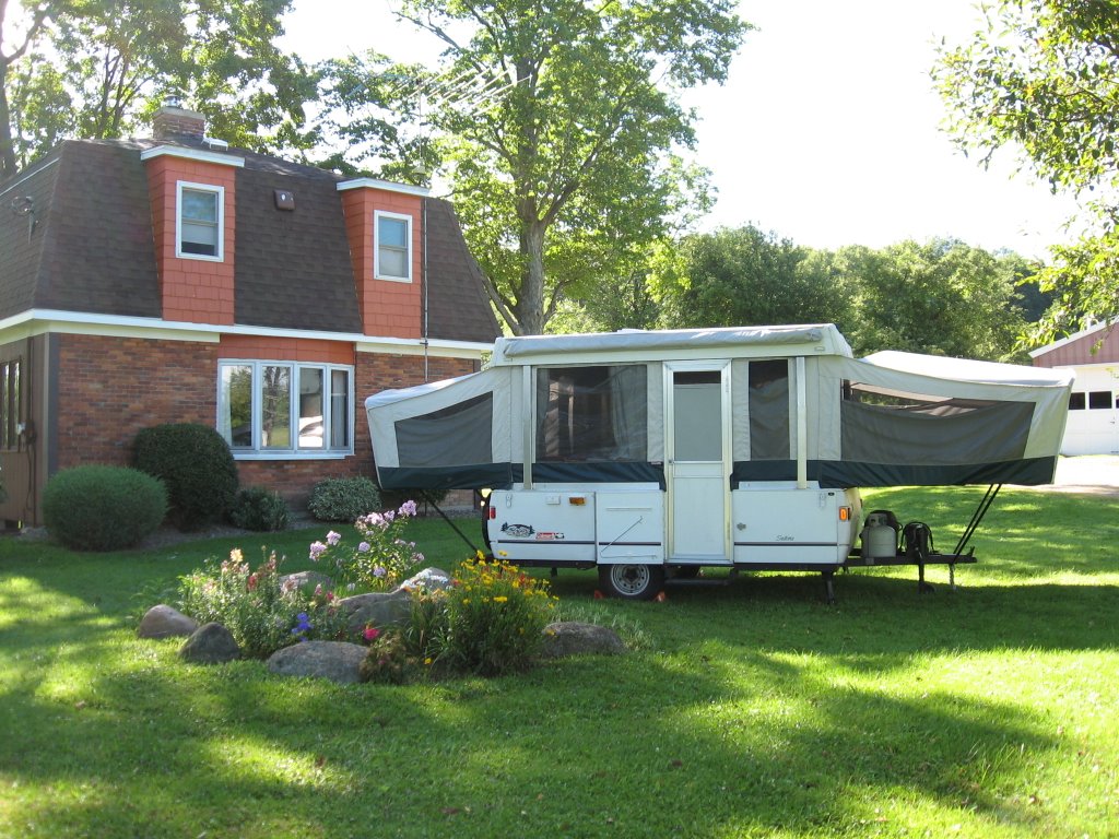
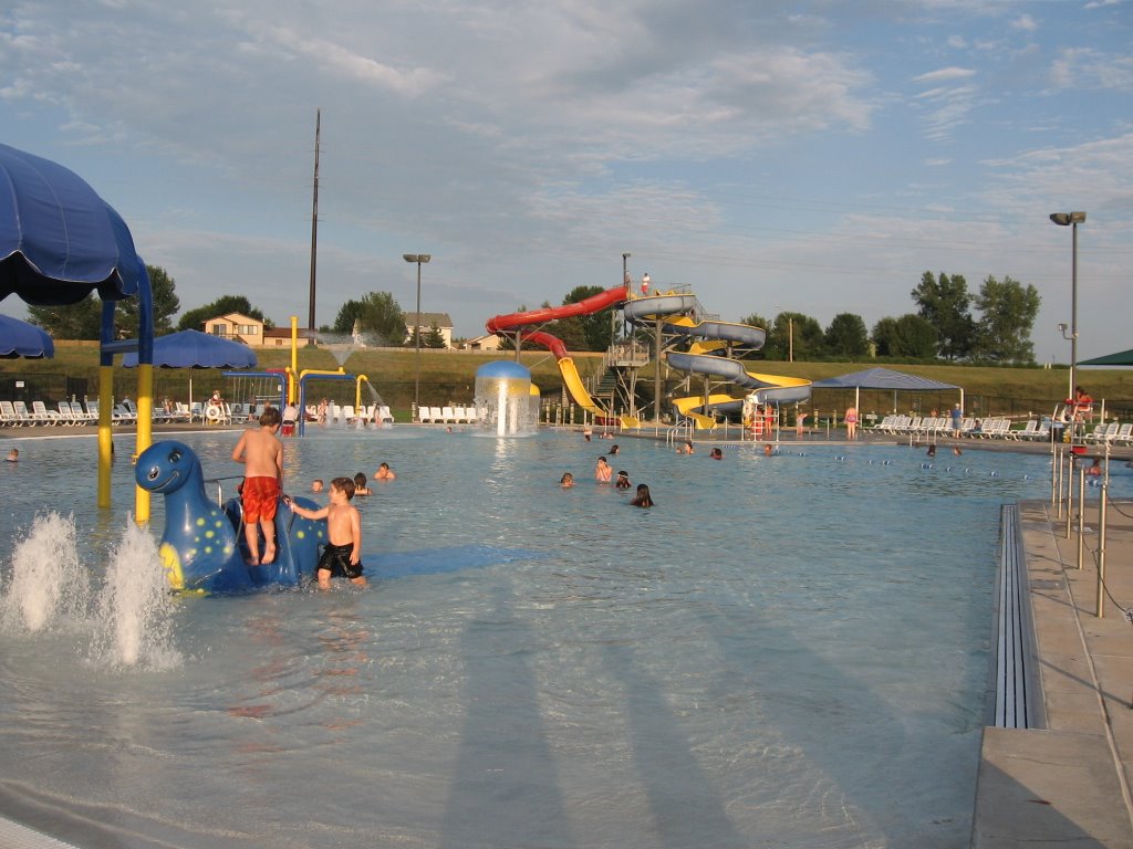
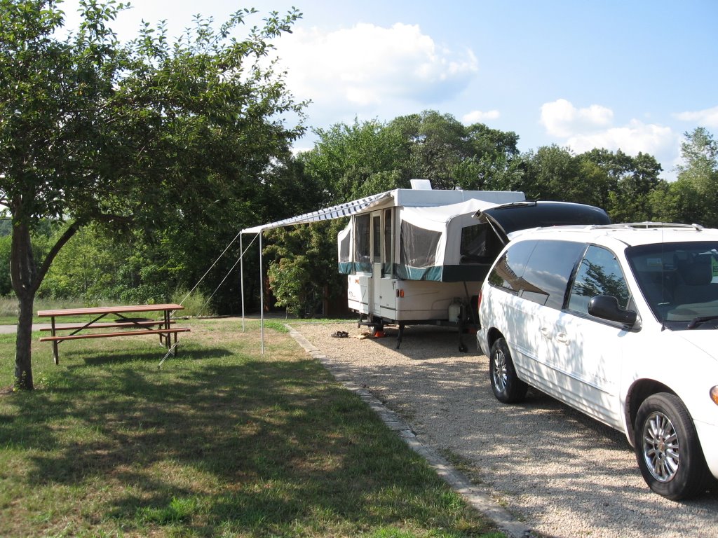
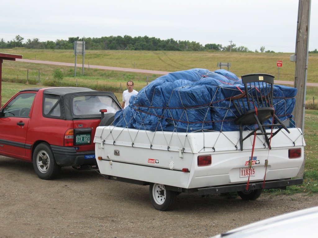
This vacation wasn’t without it’s hardships, mostly high heat. but with a few exceptions our lifestyle was tolerable. We weren’t able to bathe every day, but never went more than 36 hours without a shower. It was nice to live in our modest trailer with fewer possessions than we have at home. We noticed how easy it was to keep track of our possessions when we had fewer of them. And we cannot remember needing anything that we didn’t have. The biggest change in our lifestyle was the lack of electricity. For about half of the days we didn’t have any, causing inconveniences more than anything else. Of course we didn’t have any air conditioning even when we did have electrical hookups. Life without air conditioning in the mountain states was not too bad, except for some really hot nights in Zion National Park and a few exceptionally humid days in Minnesota and Michigan.
Would we do it again? YES!
This was certainly a road trip! We drove 8,729 miles in 52 days, which is an average of 167 miles per day. Our longest drive was on Day 48, when we drove 513 miles from Mackinaw City, MI to Niagara Falls, ON. We had a number of days when we drove more than 400 miles, including several that were back-to-back. The through mileage was about 6,278, which means we drove about 2,500 local miles (including more than 300 in Yellowstone National Park alone)! We purchased gasoline 36 times (all fill-ups) totaling 483 gallons. The highest price we paid was $3.199 (twice) in Yellowstone National Park, WY and Bloomington, MN. The lowest price we paid was $2.709 in Woodland, CO. Our average MPG was just over 18. We have concluded after this trip that the only variable that affects gasoline mileage significantly is speed. Above speeds of 70 MPH, the mileage really dropped off. No other variable, including using the air conditioner, towing a trailer or climbing hills affected our mileage as much going fast did.
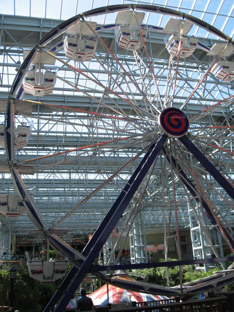
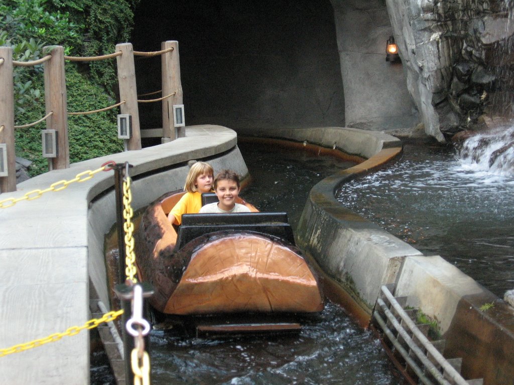
We were in a total of 21 states counting Maryland (once) plus Ontario, Canada. In chronological order they were Maryland, West Virginia, Kentucky, Indiana, Illinois, Missouri, Kansas, Colorado, New Mexico, Arizona, Utah, Wyoming, Idaho, Montana, South Dakota, Minnesota, Iowa, Wisconsin, Michigan, Ontario, New York, and Pennsylvania. We also visited and/or camped in 14 National Park Service properties, not counting National Forests that we drove through.
Perhaps the biggest impression the trip made on us was how huge and largely empty and beautiful America really is. Arizona, Colorado, Utah and Wyoming were particularly beautiful. Wyoming was particularly empty. As East Coast people, we didn’t realize how densely populated Maryland was until we drove across states with far fewer people per square mile. In fact, Maryland has more people per square mile (542) than any of the other states we were in, and more than 100 times more than Wyoming (5).
Everywhere we went people told us that the climate in their area had changed recently. We saw low lake levels at Lake Powell and Lake Michigan. We heard about the warmest winters and hottest summers in a lifetime, reduced snowfalls, and changes in what birds are found naturally in which regions. This made us concerned about our environment and damage to it that has been done.
This vacation wasn’t without it’s hardships, mostly high heat. but with a few exceptions our lifestyle was tolerable. We weren’t able to bathe every day, but never went more than 36 hours without a shower. It was nice to live in our modest trailer with fewer possessions than we have at home. We noticed how easy it was to keep track of our possessions when we had fewer of them. And we cannot remember needing anything that we didn’t have. The biggest change in our lifestyle was the lack of electricity. For about half of the days we didn’t have any, causing inconveniences more than anything else. Of course we didn’t have any air conditioning even when we did have electrical hookups. Life without air conditioning in the mountain states was not too bad, except for some really hot nights in Zion National Park and a few exceptionally humid days in Minnesota and Michigan.
Would we do it again? YES!
posted by Hazzard Family | 09:26
|
0 comments
![]()


